This article was my third for the science, philosophy, and survival website, StoneAgeMan. It describes archaeological survey techniques; or, in normal person language, how archaeologists know where to dig.
The article is broken up into several subheadings for easier navigation: Local Information and Experience, Technology, Walking Surveys, and a recap section.
The full, freely-accessible article is on StoneAgeMan. As a preview, here are the intro and Local Information sections:
How do Archaeologists Locate Sites?
When I tell people about my interest in archaeology, the first question I often get is: How do archaeologists know where to dig? The answer is that there are many ways to find archaeological sites. These include talking to locals, learning what to look for through experience, employing modern technology, and walking surveys. Next I will briefly describe what each of those methods entails, to give you a better idea of how archaeologists locate sites.
Local Information and Experience
The people who live in or frequent an area may already know where to look for archaeological sites. For instance, this past summer I volunteered on a dig in northern Ohio where the landowners had been finding artifacts since the 1920s – decades before the first archaeological digs.
Thus, speaking with locals can be one way to pinpoint sites. In the United States and Canada, there are many avocational (non-professional) archaeological societies comprised of people who are experts on their region’s past, and these can be excellent groups to consult with.
Experienced archaeologists can also be surprisingly good at spotting landscape features that might indicate the presence of sites.
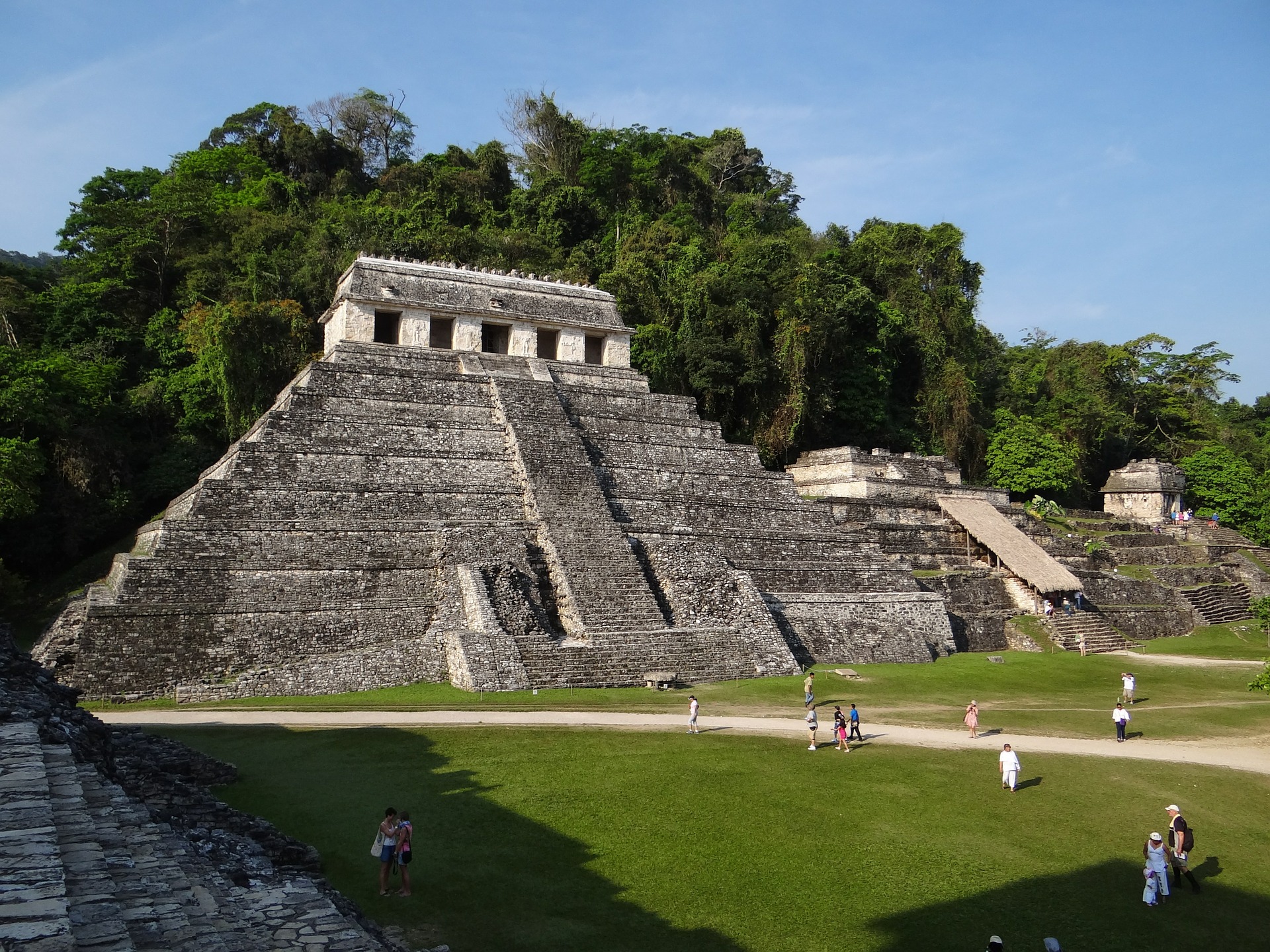
I got a taste of this during my archaeology field school in Belize. While hiking through the jungle, we would often pass low hills or mounds that looked natural to me, but which the more advanced group members instantly recognized as buried Mayan structures.